Friday, 19 August 2016


History of Ancon Hill
Ancon Hill is a 654-foot hill that overlooks Panama City, Panama, adjacent to the township of Ancón. Ancón Hill is an area in Panama that was used for administration of the Panama Canal. It was under U.S. jurisdiction as part of the Panama Canal Zone until being returned to Panama in 1977. Largely undeveloped, the area is now a reserve. The hill includes the highest point in Panama City. The summit of the hill can be reached by a 30-minute hike or driven up by road. Relatively undeveloped it includes jungle in an otherwise urban area, and wildlife still survives cut off from other jungle areas. It is not uncommon to see sloths, white-nosed coati, nine-banded armadillos, Geoffroy's tamarins, ordeer on Ancon Hill, which now has protected status. Its name is used as an acronym by a Panamanian environmental group, Asociación Nacional para la Conservación de la Naturaleza (ANCON).
The lower slopes contained residences and Gorgas Hospital. Higher up were the residence of the Governor of the Canal Zone and Quarry Heights, where the United States Southern Command was located. Quarry Heights was named for being adjacent to a large rock quarry on one side of the hill, which left a visible cliff face on one side. The hill contains an abandoned underground bunker once manned by the US Southern Command. At the top are two broadcast towers and a small road that reaches them. One-way vehicular traffic is now allowed during daylight hours. Hikers can use the road to reach the summit, and the hill is a popular jogging and hiking trek. Along the path, all manner of vegetation and birds can be seen, including a large number of orchids (which are protected by CITES).
MAIBE MARTÍNEZ


Thursday, 18 August 2016
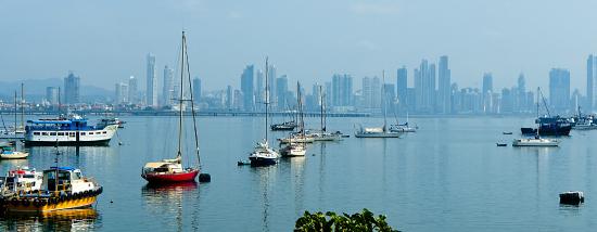
PICTURE OF THE CANAL DE PANAMA


The Panama Canal is an inter-oceanic navigation route between the Caribbean Sea and the Pacific Ocean that crosses the Isthmus of Panama at its narrowest point, whose length is 65 km.1 There are locks on each end to lift boats up the lake Gatun, an artificial lake created to reduce the amount of work required for the excavation of the canal, 26 meters above sea level, then descenderlos to the level of the Pacific or the Atlantic.
BY: ANDREA RODRIGUEZ
Subscribe to:
Posts (Atom)